


Thursday morning weather forecast
Thursday morning started out warm once again and afternoon highs will reach near record levels with increasing cloud cover.


Wednesday night forecast: Record warmth continues
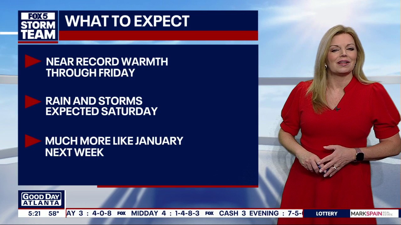
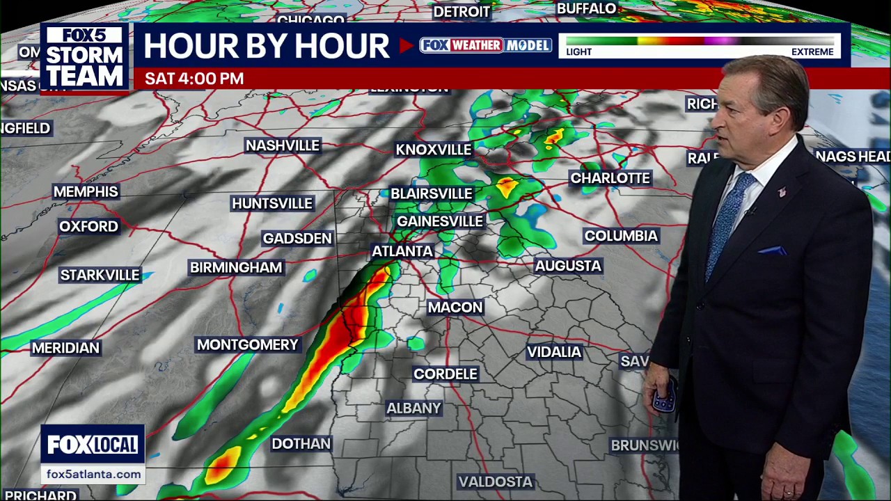
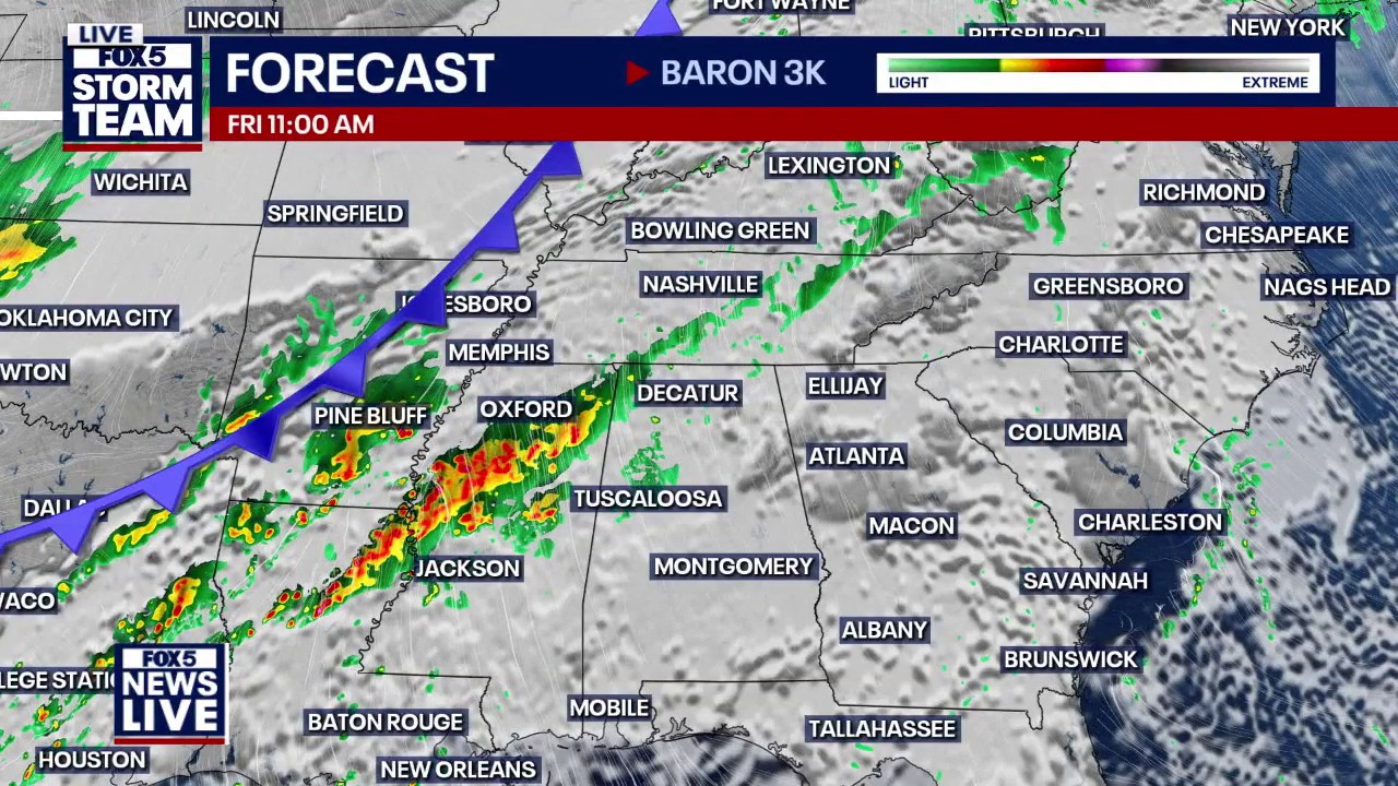
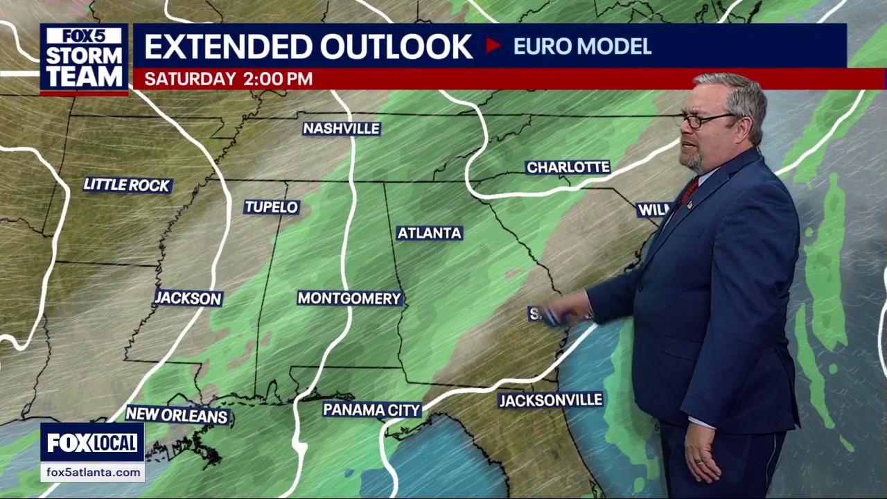
This weather forecast details a dramatic shifts for North Georgia, moving from near-record warmth in the 70s to a turbulent weekend of storms, followed by a sharp "reality check" as temperatures plunge into the 40s. The FOX 5 Storm Team is tracking that and the chance for a severe weather threat to close out the weekend.


Wednesday Night Weather Update
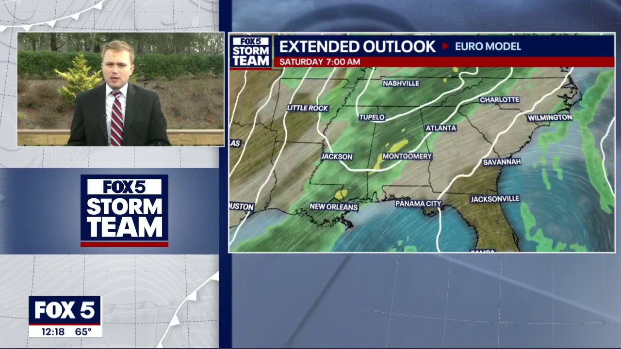
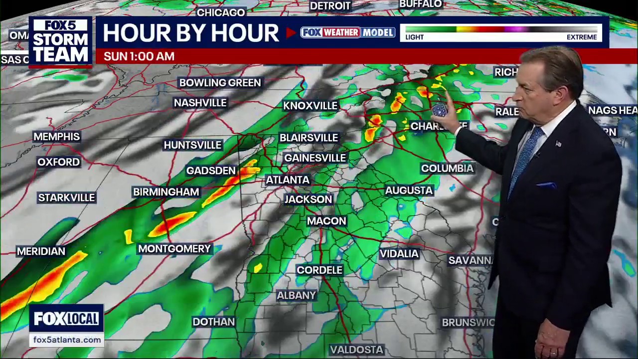
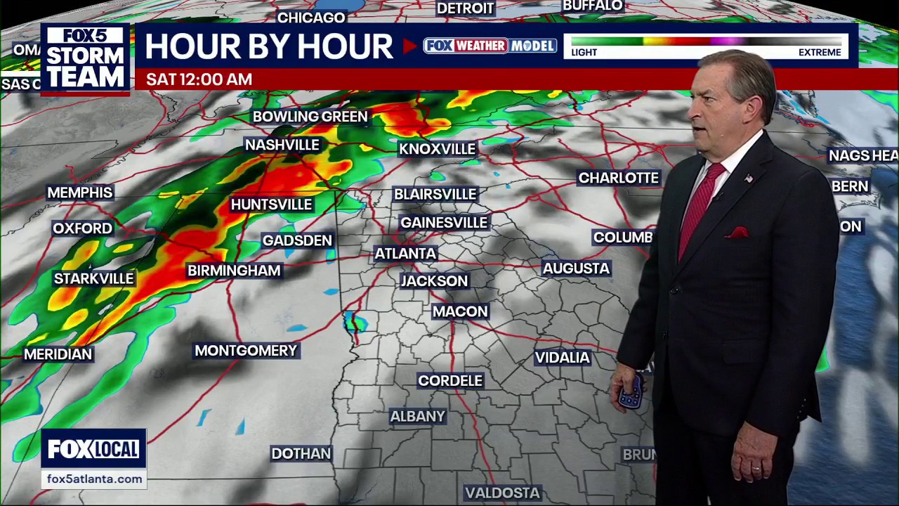
Cloudy and mild to warm thru the night with morning lows in the upper 40s to low 50s. Mostly cloudy on Thursday and warm, highs near 70. Some t-storms in NW by Friday, temps remaining warm thru Saturday. Here are the details


Wednesday afternoon forecast
Clouds begin to move in Thursday.

Wednesday afternoon forecast
Warm weather now; Storms to end the week.

Wednesday morning weather forecast
Dense fog is impacting much of North Georgia early Wednesday, with visibility improving by mid-morning. Near record temps expected later today.

Tuesday night forecast
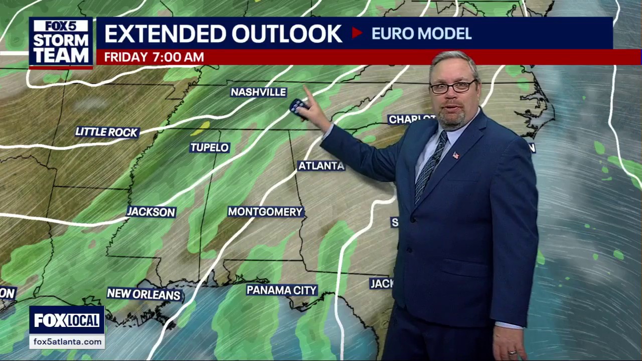
Get ready for another few days of record warmth in the middle of winters. The FOX 5 Storm Team is tracking that as well as a powerful front expected to close out the week. Here's what you need to know.

Tuesday Night Weather Update
More clouds and fog thru the night and into Wednesday morning with lows in the 50s. Breaks in the clouds by afternoon and warm with highs around 70. Near the record highs the next 3 days. Here are the numbers.

Tuesday evening forecast
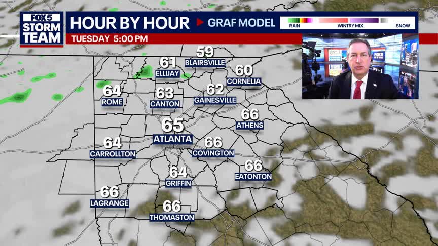
Wednesday will be warmer than today.

Tuesday midday forecast
This week sees above average temperatures before ending with the possibility of severe weather.


Tuesday midday forecast
Above average temperatures all week with slight rain chances.

Tuesday morning weather forecast
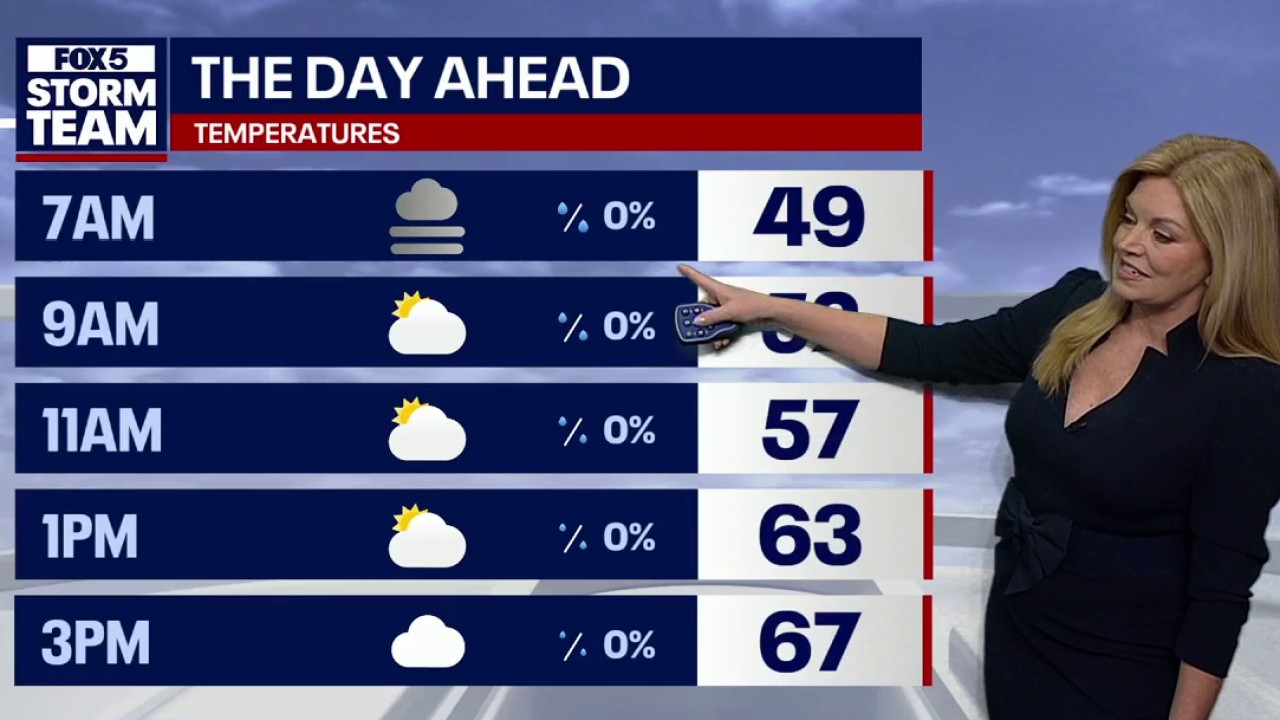
After another foggy start to the day, temps are expected to reach mid to high 60s later in the day. Small chance of rain later on.

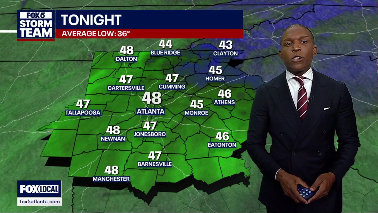
Monday night forecast
"Man, look at all that warmth!" FOX 5 Storm Team Chief Meteorologist David Chandley is tracking the warmup through the week and how storms will likely usher in the next cool down. Here's the latest on the timing and intensity.


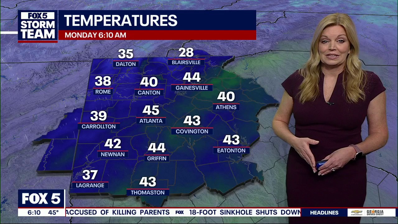
Monday Night Weather Update
Clouds and fog thru the night and into Tuesday morning with lows in the 40s. Mostly cloudy Tuesday with highs back into the mid 60s. Warmer mid week near some record highs. Here are the details.

Monday midday weather forecast
Monday afternoon is expected to be mild and cloudy. Patchy fog expected to return tonight.

Monday morning weather forecast
A dense fog advisory is in place until 10 a.m. Highs could be near 60 degrees today.

Sunday evening forecast
Expect above-normal temperatures to start the week out. The FOX 5 Storm Team is tracking the arrival of the next cold front. Here's the latest.


Sunday Morning Weather Forecast
The sun will come out for the afternoon after a foggy start.

Weekend weather forecast
Above normal temperatures return. Next real cold front next weekend.


Saturday Morning Weather Forecast
Overcast skies will hang on for Saturday afternoon before the sun emerges on Sunday.